This is an easy trail with only a few ledges. 4-wheel drive is required. Lower clearance vehicles may have some issues.
Location
Moab, UT
Trailhead
This trail starts and ends in the same location, but is mainly a large loop with only a small amount of back-tracking. The trail begins at GPS coordinates of the turn-off are 38.628856, -109.801753. This is to the right when travelling on highway 313 towards Canyonlands. This is 8.5 miles from the intersection between highways 313 and 191.
Description
This is a gentle, easy trail. Not much in the way of technical obstacles, but there are a few ledges and loose areas that require 4-wheel drive and some clearance.
The trail is essentially a large loop and ends at the Secret Spire. This is an interesting geologic feature of a spire that rises out of the slick rock base. This is a great location for lunch.
The trail is varied between gravel dirt roads, rocky sections, and slick rock sections.
There is an optional spur to Dellenbaugh Tunnel. This is a natural tunnel that goes beneath a slick rock ridge. This tunnel is about 100 feet long and tall enough that you can walk through it. We did not need flashlights to go through the tunnel since it is straight and both ends opened up to allow enough light.
Download the GPS file here!

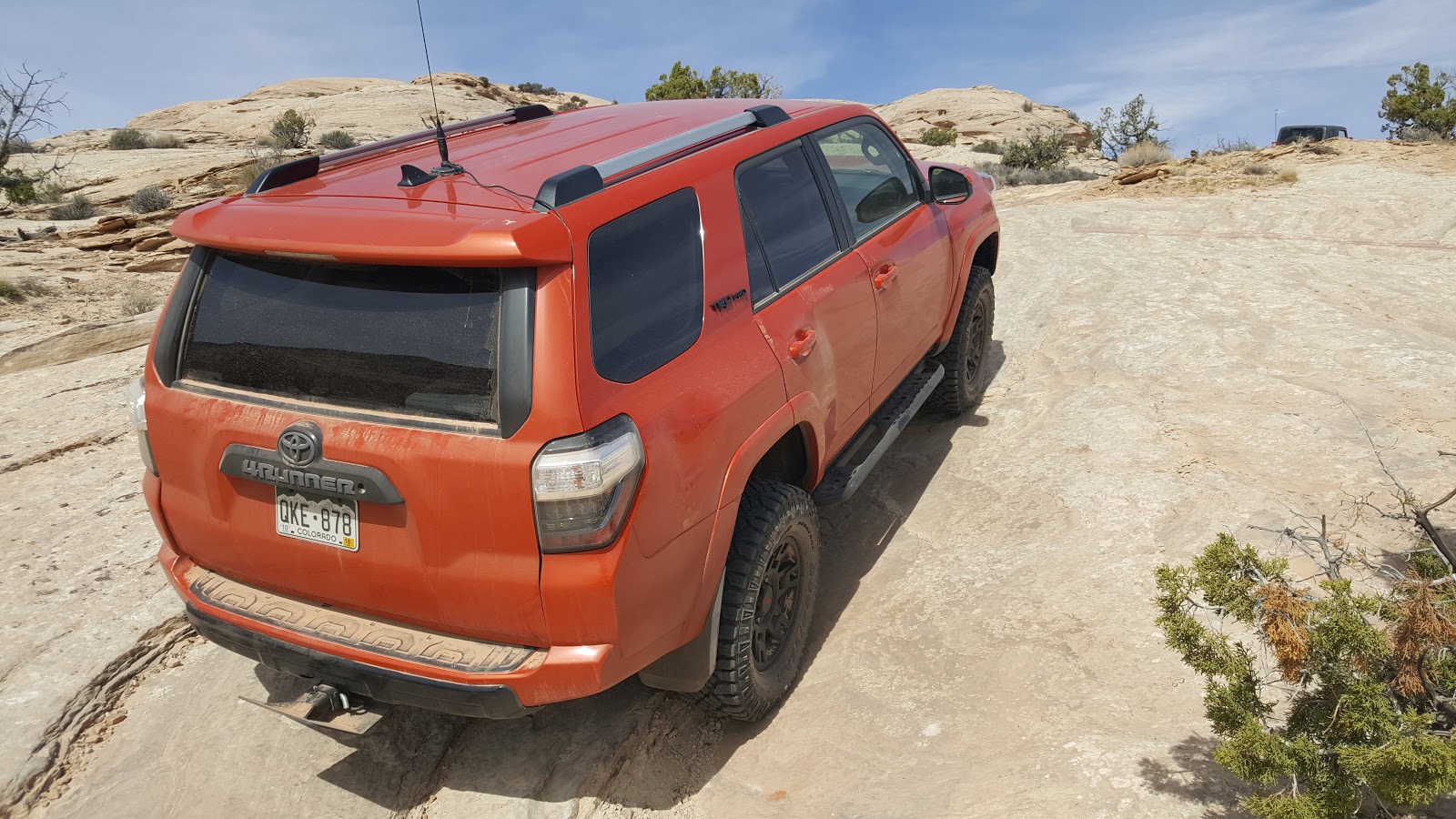


This is a decent representation of the most difficult section of the trail, and the ledge doesn't even extend the whole way across.


No comments:
Post a Comment