Location: North of Moab, UT off of the Dead Horse Point road.
Trailhead: The road starts at the top of Long Canyon. You leave the pavement 16.2 miles from US highway 191. It is 1.6 miles from the "T" where you turn left to continue heading to Dead Horse Point. The GPS coordinates where you leave the pavement are 38°32'41.5"N 109°45'50.6"W (38.544875, -109.764045).
Day Canyon Point road turns off of this dirt road 2.2 miles after you leave the pavement. The road is to the left (north). The GPS coordinates are (38°32'27.2"N 109°43'27.9"W) 38.540877, -109.724429.
This is a fun out-and-back type of road that takes you to the an overlook where Day Canyon connects to the Colorado River. The view at the end is spectacular and gives you a great view of the surrounding area. The scenery is also fun in this area because can see Gold Bar Rim, Poison Spider Mesa, the area that Golden Spike travels, as well as Moab Rim. If you look closely and the sun is shining in the right direction, you can even see Jeep Arch in the distance.
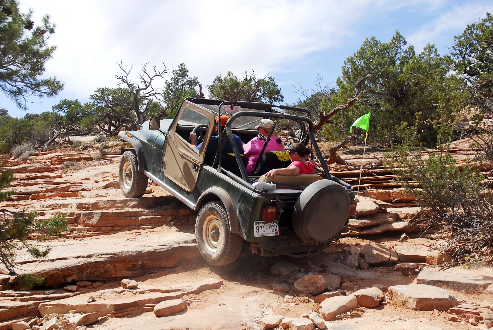
The road is full of many small ledges and small climbs that keep you interested throughout the trail. Most of these are not difficult, but there are one or two that require a little planning and a good line if you are in a stock vehicle.
We took a different way out for the last few miles, you can see it in the map below. I also included the alternate route to the Long Canyon Road as a GPX/KML file.
A fun way to get back to Moab is to go down Long Canyon, which is always a fun and scenic drive.
Here are the GPX and KML files. Since there are 4 files, I turned them into one zip file for my convenience.


No comments:
Post a Comment