Rating: 3. There are a few steep climbs and a few small ledges that would make it difficult for a small, low-clearance SUV without low-range.
Location: Just north of Delta, CO.
Trailhead: 11.9 miles north of Delta, CO from the Maverick gas station downtown. The GPS coordinates are: 38.784704, -108.246905. This is the trailhead for Escalante Canyon, and there are signs marking the turn. Take the Escalante Canyon road 6.2 miles, and there will be a turn to your left for the Dry Mesa Road and Escalante Rim Road. 0.6 miles after this turn there will be another turn. The left is Escalante Rim Road and the right is the Dry Mesa Jeep Road.Coordinates for this turn are 38.712819, -108.261934.
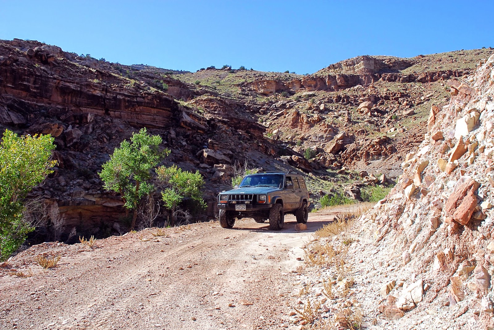
The Dry Mesa Jeep Road parallels Escalante Canyon. The climb out of Escalante Canyon to the top of the mesa has some neat scenery and is moderately steep. There are no difficult obstacles, but with a number of ledges and rocks it makes it more difficult than the nearby Escalante Canyon or the Escalante Rim Roads.
Once on top the scenery slowly changes from the desert landscape to the aspen and pine trees on the Uncompahgre Plateau. The aspen and pine forests are only present for the last few miles of the road.
Toward the end of the road there is a turn-off to a dinosaur quarry. This short spur had many mud holes as it rained the day before. A few of them were fairly deep and I wouldn't recommend doing this spur alone if it is muddy you don't have good mud tires. There were a few times I was worried I was going to get stuck.
To get to the dinosaur quarry there is a 1/4 mile hike. The trail isn't well traveled and sometimes isn't well marked but it is still easily followed. There are signs when you get to the quarry that describe what dinosaurs were found, but the signs are in pretty bad shape. The quarry itself also isn't very exciting, it is just an area that has been dug out of the side of a hill. The view from the quarry, however, is spectacular.
One interesting fact about the quarry is that they found one of the biggest dinosaurs, a Supersaurus, which is among the biggest dinosaurs ever found.
UPDATE Aug 31, 2015
My wife and I took a quick run on this road today. The stream crossings were a little deeper and more washed out, but the overall rating stays a 3. We did the trip in my Cherokee and the stock 4Runner TRD Pro.
There is a lot of open range in the area and some gates are closed and some are open. Remember to leave the gates the way you found them!
Here are some pictures from the trip today:


End of update


This is the view from the dinosaur quarry overlooking Escalante Canyon.

One of the many little ledges. This one was about 6-12 inches, depending on where you go up. A few of these ledges would have been difficult in our little Jeep Patriot because of clearance and the lack of low range.


The last few miles of the Dry Mesa Jeep Road actually take you into more of a forest, as seen in this picture and the next one.


This picture isn't actually on the Dry Mesa Jeep Road. At the end of the road I was planning on going back through Escalante Canyon. I took a wrong turn and ended up here. This was on road L37 which turns into the Sawmill Mesa Road. One of these days I will go on the rest of this road.
No comments:
Post a Comment