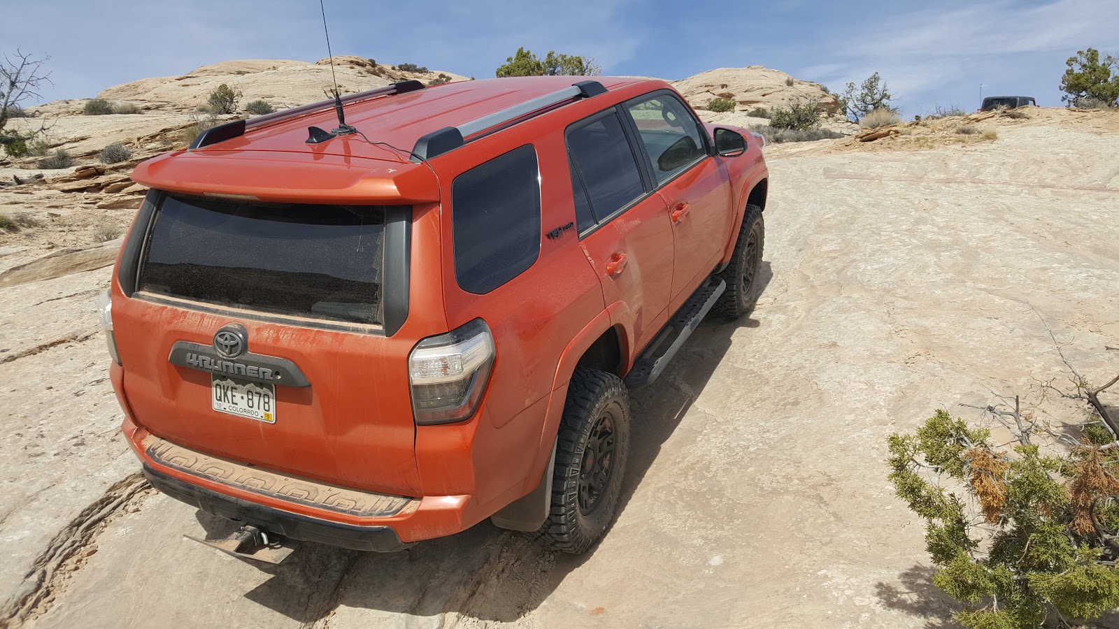
Rating is based on our trip in 2016, and at that time I would rate it a 5-6. The Red Rock site rates it a 6. This is a fairly difficult trail with multiple ledges. We did this trail with our stock Toyota 4Runner TRD Pro. It doesn't have a lot of clearance, but has a rear locker and traction control. It was a struggle to get the 4Runner through a few of the ledges and not have body damage. We stacked many rocks and even spent 45 minutes getting it down just one series of ledges. It was doable with our Cherokee that has 31" tires and no lockers, but it require a few attempts to get up some of the larger ledges.
Although not necessary, I would recommend 33" tires and one locking differential. I personally would not do this again with a stock 4Runner.
Although not necessary, I would recommend 33" tires and one locking differential. I personally would not do this again with a stock 4Runner.
Location
This is located northeast of Moab, UT near Dewey Bridge.
Trailhead
The turn-off starts at Dewey Bridge that crosses the Colorado river. This is located 30 miles northeast on highway 128, measured from the intersection of highway 128 and highway 191. GPS coordinates are 38.810887, -109.305087.
Description
This was a fun trail with some amazing views of the area. It is an "out and back" type trial. Any obstacle you have to go over, remember that you will have to go back through the obstacle on the way back (except for the loop at the end).
The trail starts off easy on a graded, well maintained road. A few areas can be bumpy and have washboards, but the drive is still fun and the views are great. Once you reach the turn off (there is a sign marking the direction to Top of the World), the road starts to get more exciting and slowly gets harder and harder.
The coordinates of this turn off are 38.770193, -109.249229. Rose Garden Hill is to the left/straight, but Top of the World goes right. As I said above, there is a sign marking the turn.
The trail continues to worsen until you reach the end viewpoint. The end is a small loop, and in 2016 the hardest areas were on this loop. Most people take a right turn when they get to the loop and travel it counter clockwise.
The end view point is definitely worth the trip. According to my topographical map, the top of the cliff is about 7,000 ft elevation. The view overlooks the Onion Creek road, which is at 5,000 ft of elevation. If you look to the right from the viewpoint you can also see Fisher Tower.
In closing, once you leave the county road the condition of the road worsens. The road is slow due to the number of loose climbs and ledges, expect this to take most of the day. The day we did the trail we had 3 vehicles and it took us about 8 hours off-road to complete the trail.
Download the GPS file here! This KML is originally downloaded from the Red Rock 4Wheelers site.