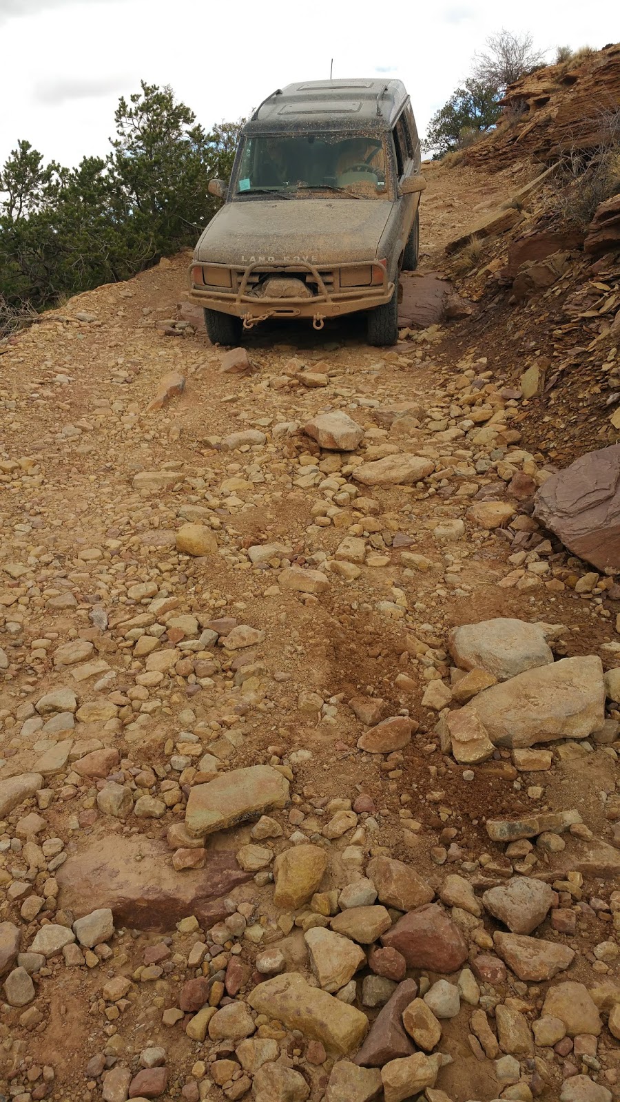
This is an easy, well maintained road. In dry weather a passenger car can drive this road without issue.
Location
This is located in Western Colorado, about 45 minutes south of Gateway.
Trailhead
The northeast end starts from highway CO-141. It is located 14.0 miles north from Naturita, CO (measured from the intersection of CO-141 and CO-90). It is 34.4 miles from Gateway (measured from the bridge crossing of the Dolores River in Gateway). GPS coordinates are: 38.377623, -108.743051. The road goes to the southwest from highway 141.
The southwest end starts from highway CO-90. It is 17.2 miles from the intersection of CO-141 and CO-90. It is also located 1.4 miles southeast from Bedrock (measured at the Dolores River crossing). GPS coordinates are 38.309579, -108.859886.
Description
This is an easy, well maintained, and graded road. Although there is no need for 4-wheel drive, the scenery makes up for any lack of driving excitement. I thoroughly enjoyed this drive and I will go back again.
The history of this area is another aspect that makes this drive well worth the time to get there. There is a long history of mining in the area--I think mainly gold and uranium. This road is a great way to see a unique part of the history. Most of the details are from the site hangingflume.org.
The highlight of this drive is a piece of impressive engineering that is called the Hanging Flume. In the late 1800s, there was hydraulic mining in some mines. One way to get the needed pressure was to create a flume. Often these were created by just digging canals at a constant grade to create pressure. Flumes were used with these canals to cross ravines and such. The issue with this flume was that it needed to traverse sheer cliffs, so they had to attach the wooden flume to the cliff. It appears that this flume is just hanging on to the cliff, hence the name Hanging Flume.
The Hanging Flume was built in 3 years, and it was started in 1889. The mining claim was a placer mine. Placer mining is a method of going through silt deposits from a river to find gold. They built the flume to get enough water pressure to blast the deposits out and then they ran the silt through a sluice box. The sluice box is a long trough that has channels that collect the heavy gold while the silt is washed away. The Hanging Flume never made a profit...
The Hanging Flume is a combination of canals dug in the earth initially with wooden flumes (that have all been destroyed or salvaged) until it reaches the shear cliff walls. From this point on it is mainly attached to the cliff. The entire area from start to finish is almost 10 miles and is only at a 0.17% grade dropping only 90 feet over the 10 miles (so it drops only about 9 feet per mile). I am amazed they were able to keep a 0.17% grade ON A CLIFF in the late 1800's--pretty impressive.
Most of the flume is destroyed, however many of the supports are still present. The wooden supports are held into the cliff wall by metal rods. Much of the wood was salvaged by early settlers in the area to build their homes, but the wood that is attached high on the cliff wall was not easily salvaged and is therefore still present today.
The engineer of the project, who had built other flumes before, was Nathaniel P. Turner. Once again, I'm impressed he was able to make this idea a reality.
The road initially follows the San Miguel river, which is the same canyon the flume follows. Once the road reaches the confluence of the San Miguel and Dolores Rivers, the flume continues downstrem along the Dolores River and the road turns and goes upstream along the Dolores River. To see more of the flume you can stop on turnouts along highway CO-141. If you are starting from highway 141, I recommend that you do these stops before going down road Y11.
Map and GPS files coming in the future!
Here is a video created by my cousin about one of our trips down this road:
The next pictures are at the hanging flume overlook from highway 141. This is about 5 miles north of Y11 road.


This is a painting of a donkey, which the Hanging Flume pamphlet says it was painted as a tribute to the animals that helped them build the flume. To me it looks like it has been repainted since it is in good condition. It was originally painted in the early 1900s. You will see this on your left a few miles south of the Hanging Flume overlook.
The next few pictures are about 1.7 miles north of the Y11 road. It isn't marked, but there is a small pullout to the side of the road closest to the river. If you walk out toward the river, right before you get to the small cliff you will see the old earthen trench that carried the water through this area. You will also see some built up sand stone walls along the edge by the cliff.


This is a fun, old bridge near the beginning of Y11 road.


1.9 miles down Y11 road from Highway CO-141 you will start to see some old wood beams that held up the flume.

At 2.3 miles from the pavement you will see the first supports that held up the hanging flume.


Some more supports at 2.8 miles.


These next few pictures are at 3.3 and 3.4 miles. The supports are getting a little higher and are more obvious.


There is a section of newer wood just above the vehicle. This was done back in 2012 to show what the flume looked like and to try to figure out how they were able to build it without modern technology.


The rest of the picutres are after the confluence and after you leave the path of the Hanging Flume.


I like the La Sal Mountains in the background juxtaposed next to the red cliffs.

On the way home we stopped at a fun Diner that had recently been remodeled. It is called Blonde's Diner and is in Naturita. It was a great place for a burger.