Friday, September 19, 2014

Cinnamon Pass (Part of the Alpine Loop)

Difficulty Rating: 3. This is a clear 3 on the scale. You need 4-low and may need a little higher clearance than a small cross-over SUV. A stock SUV with low-range should be able to do this trail. This is a little easier than Engineer Pass, the other half of the Alpine Loop.

Location: Between Lake City and Ouray, CO.

Trailhead: The west side is 3.3 miles south of Ouray from the turn-off to Box Canyon Falls on the Million Dollar Highway (Highway 550). Coordinates are 37.988621, -107.649654 (37°59'19.0"N 107°38'58.8"W).

To be exact, the west side of Cinnamon Pass road doesn't start near pavement and this is actually the start of Engineer Pass. There is a connector that is well marked that will take you to Cinnamon Pass 7.0 miles after you leave pavement. You can also get to the west entrance of Cinnamon Pass from Silverton on the Animas Fork Road (County road 2) that starts at the Silverton Lakes Campground. When you get to the Ghost town of Animas Fork, there is a sign pointing the way to Cinnamon Pass. GPS coordinates of the start of Animas Fork Road are 37.818126, -107.650748 (37°49'05.2"N 107°39'02.7"W).

The east end starts near Lake City. The road is 2.2 miles south of 1st street in Lake City on Highway 149, and it goes to the right. You follow this paved road for 4.1 miles, where the pavement ends. It comes to a T in the road, and the Cinnamon Pass Road is to the right. Coordinates are 37.949241, -107.302314 (37°56'57.3"N 107°18'08.3"W).

Cinnamon Pass combined with Engineer Pass make up the Alpine Loop. The roads connect Lake City and Ouray, CO. If you are staying in Ouray, you could probably do the entire loop in one day, but it would make for a long day. It took me about 5.5 hours to complete Engineer Pass and it took me 5.5 hours to do Cinnamon Pass. Since Lake city is 2.5 hours from my house, we decided to do only half of the loop at a time.

I did Engineer Pass about 2 months ago in July and it was lush and green. When I did Cinnamon Pass a few days ago in mid September, the leaves were changing colors and the meadows were brown. The elevation is so high on the Alpine Loop that only short grasses, small wild flowers, and other similar ground cover can grow. They call this this growth the Alpine Tundra. These areas were brown and dying since it was so late in the year.

Cinnamon Pass was used by the Ute Indians before the white-man explored the area. In 1870's, the government felt that because the pass didn't cross the Continental Divide that mail could be delivered year-round across the pass. I'm not sure what they were thinking, especially since the pass reaches 12,800 ft in elevation. During the summer it is nice a cool on the pass, I can only imagine how much snow there would be in the winter.

The first road was constructed over the pass in 1877 and did well until the mining in the area declined. Now we have a fun jeep road thanks to that wagon road.

On the west side of Cinnamon Pass there is a ghost town called Animas Fork. Most of the buildings have been destroyed by the snow, but a few still remain. There is a group that maintains the buildings to help preserve the history. The highlight of Animas Fork is one house that has a big bay window, something I have never seen at any other mining ghost town.

Here are the GPX and KML files of the trip.

There were a lot of pretty leaves on the trip, I may
have gone a little overboard in taking pictures.


As I have said, we always find great spots for lunch.

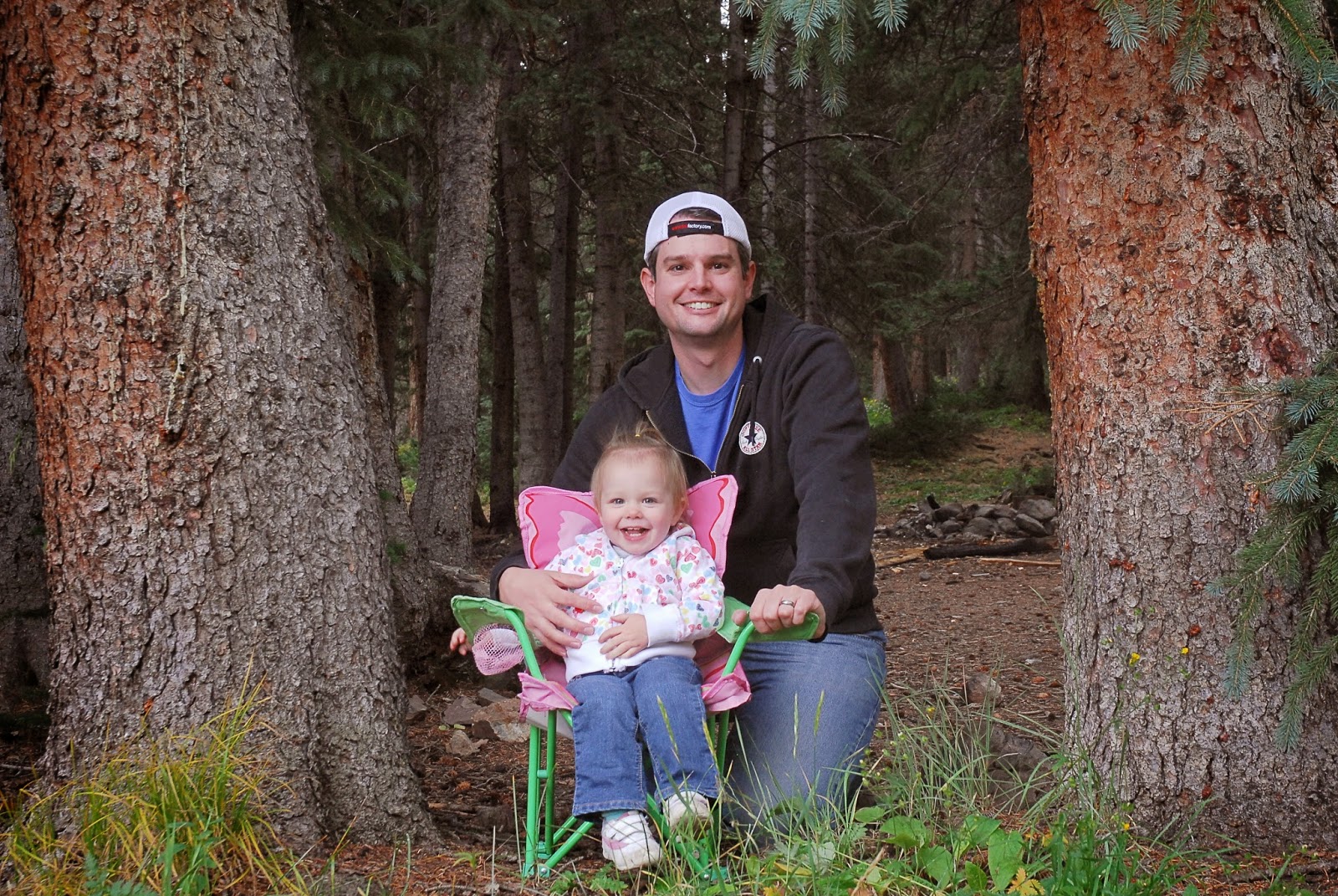
The problem with lunch is that my daughter
wants to play and doesn't eat much.


She loves her chair we bring for lunch time!


This is American Basin, a small side trail I took
before I reached the top of Cinnamon Pass. It is 
only a few miles long, and the view is worth it.


This is the bay window at Animas Fork. You can go
inside the house and look around.

Here is a birds-eye view of Animas Fork.


This is the Alpine Tundra I talked about earlier. I have a 
picture of the same spot from my Engineer Pass trip. You can
 compare how green it was 2 months ago and now see how 
brown it is now. This field was full of purple flowers two 
months ago, now it is filled with brown, dead flowers.


Blue Mesa Cutoff

Difficulty Rating: 1. This is a well maintained, graded road. There are some washboards, but there are no areas that are washed out or rocky.

Location: Between highway 50 at the Blue Mesa Reservoir and highway 149. This road is a few miles west of the Sapinero Mesa road and runs parallel to it.

Trailhead: The north side starts on Highway 50 36.9 miles east from the junction of Highways 550 and 50 in Montrose or 28.1 miles west from the junction of Highways 50 and 135 in Gunnison.

The south side starts on Highway 149 24.6 miles south from the junction of 50 and 149 or 20.3 miles north of Lake City.

Coordinates for the north end are 38.440026, -107.346207 (38°26'24.1"N 107°20'46.4"W). The coordinates for the south end are 38.293873, -107.218510 (38°17'37.9"N 107°13'06.6"W).

Like Sapinero Mesa, this is a short cut to get from the Montrose area to Lake City. This is an easy, relaxing drive that avoids the traffic of the pavement. The north end has a short canyon you go through that has some rock walls going up on either side of the road. This section only lasts less than a mile, but it is fun to drive next to the small cliffs. Once you are on top, it is mainly barren hills like Sapinero Mesa. The south end drops off the mesa and has a few switch backs. There are trees and many cabins at the south end.  Most of this road is on private property or an Indian reservation, so there isn't many places to stop and look around.

If you are travelling from Montrose to Lake City, the Blue Mesa Cutoff road shortens the trip quite a bit when it comes to distance. Blue Mesa Cutoff is 16.6 miles long, while if you travel on the pavement it is 43.3 miles. The road is much slower than the pavement, but according to my GPS I drove it in 36 minutes. If I didn't stop to take pictures for the blog, it would have been about 30 minutes. According to Google Maps, it would take just over 50 minutes to drive the 43.3 miles on the pavement.

Here are the GPX and KML files of our drive.

 These are the cliffs on the north side.

 There are miles and miles of barren, rolling hills on top.


On the south side you get some nice views of moutains
and start findings some pine and aspen trees.

Tuesday, September 16, 2014

Ophir Pass

Difficulty Rating: 2.5. The reason for the 2.5 rating is because of the possible need for low-range. This is a difficult 2, but a really easy 3. If you take care you could probably do it in a small cross-over SUV without low-range, but I wouldn't want to make my little stock Jeep Patriot on this trail. If you start from the Silverton (east) side and travel toward Telluride, you go down the steep and loose parts making it easier. If you don't have low-range, I would start from the Silverton side.

Location: South of Telluride. The pass is between highway 145 and the Million Dollar Highway (550).

Trailhead: The west end starts 7.2 miles southh of the roundabout going into Telluride on Highway 145. The GPS oordinates for the west side are 37.861972, -107.870146 (37°51'43.1"N 107°52'12.5"W).

The east end starts on the Million Dollar Highway (highway 550). It starts 17.8 miles south of Ouray (measured from 3rd Ave and highway 550). It is 4.8 miles north of Silverton (from the gas station at the edge of town). Coordinates are 37.847542, -107.724780 (37°50'51.1"N 107°43'29.2"W).

This is a short road, just under 10 miles. It goes through the town of Ophir, which is a tiny town that is mainly summer residents. The pass climbs steadily to a respectable 11,789 ft in elevation. This isn't even close to the highest pass in the area (Imogene Pass, a few miles north of Ophir Pass, reaches 13,114). But if I count right on Wikipedia, it is still the 15th highest unimproved pass in Colorado (21st if you include improved roads/paved roads).

The road is fun and isn't too difficult. When you get close to the top the road is narrow making passing oncoming vehicles difficult. Also, if you are traveling east (from the Ophir/Telluride side) you go up the steepest section. This section has a lot of loose rock and 4-low is highly recommended.

Of note, this pass opens in late spring (mid June). According to Peter Massey's book, the snow-plows clear the east end of the road to the pass. This creates a narrow channel in the snow with walls as high as 20 feet in places. I'm thinking next spring I am going to take a look... Update: I went in April of 2015. The walls weren't nearly 20 feet high, but they were at least 10 feet high! Here is the link of my trip in the snow.

Here are the GPX and KML files of our trip.


 I know, it isn't a great picture. It does, however,
show how narrow the road is.

 This is the narrow section right before
you get to the top. It is steeper than it looks. 

 I thought this was a pretty blue lake.


Alta Lakes

Difficulty Rating: 2. It is an easy graded road up to the Ghost Town, and a passenger car can easily make it to that point. After the Ghost Town there are a few minor areas that require a little more clearance giving it the rating of 2. Once you are at the lakes, there are a network of roads going around the lakes that are fun. We went on one and it was a rating of 4.

Location: South of Telluride on highway 145

Trailhead: The trail starts 5.3 miles south on highway 145 from the roundabout just outside of Telluride. It is 1.9 miles north of the turn off for Ophir Road. GPS coordinates are 37.883931, -107.888300 (37°53'02.1"N 107°53'17.9"W). The road ends at Alta Lakes and you come out the way you go in. 

This is an easy graded road to the ghost town of Alta. There are some buildings that are still in decent condition. This town was here for the Gold King Mine, where they mined gold, silver, copper, and lead. This mine stayed operation longer than most mines in the area. 

After the ghost town, the road get slightly more rough and that is why I gave it a rating of 2. When you reach the lakes there is a nice little campground. I was surprised to see the number of people camping up there. Our plan was to eat lunch at Alta Lakes, but I didn't expect that many people. We had to drive part way around one of the lakes to find a spot to eat. Lucky for me, the roads around the lakes are rough and I had to put it in 4-wheel drive. Some parts have a rating of 4 where I went because they were pretty torn up, but these are optional so I didn't make the over-all rating higher than 2. 

On the way back down we took a detour up Gold King Basin. It was a short drive, maybe only a mile or so. The basin was gorgeous, typical for the San Juan Mountains and worth the slight detour. 

Here are the KML and GPX files of the trip. 


We sure find great spots for lunch

Wouldn't it be nice if my daughter would smile normally?

I had to tickle her (my daughter, not my wife) to get this smile...

This  and the next 3 pictures are Gold King Basin


Last Dollar Road

Difficulty Rating: 2. There were a few spots that you would need a little higher clearance than a passenger car, but in dry conditions you won't really need 4-wheel drive. If you are travelling south (Ridgeway to Telluride), you go down the steepest section. If you start from Telluride you go up the steepest section.

Location: It is between highway 62 and Telluride, it is a "short-cut" from Ridgeway to Telluride that will add about an hour to the trip unless you stop for a lot of pictures. We did this trail on our way south of Telluride to go to Alta Lakes and Ophir Pass.

Trailhead: The north end starts 12.1 miles west of Ridgeway, CO on Highway 62, measured from the intersection of highways 62 and 550. The coordinates are 38.099930, -107.912448 (38°05'59.8"N 107°54'44.8"W).  

The south end starts 0.2 east of the roundabout going into Telluride on Highway 145. It is the first turn to the north (left if going into Telluride). The road is paved for 1.9 miles and then you come to a "Y" in the road. The left fork goes into the Telluride Airport, the right fork is a dirt road and is Last Dollar Road. The GPS coordinates of the turn-off by the roundabout are 37.950722, -107.868239 (37°57'02.6"N 107°52'05.7"W) and the coordinates of the "Y" are 37.953011, -107.894551 (37°57'10.8"N 107°53'40.4"W).

The trail is pretty well marked. There are signs from the pavement marking Last Dollar Road and it is fairly straight forward to follow once on the dirt road. There is one turn that is easy to miss if you are traveling from Ridgeway to Telluride. The north side is an easy graded road that allows quick travel. At 38.050736, -107.957224 (38°03'02.6"N 107°57'26.0"W) Last Dollar Road turns to the left. If you missed the turn-off and continue straight the road turns into Sawpit Road. If you follow Sawpit Road, you will still get to Highway 145. If you stay on Sawpit Road I believe a passenger car could go the entire way. If you go left at this intersection to stay on Last Dollar Road, this is where it becomes less maintained but still easy enough for a vehicle with a little more clearance than a passenger car. 

The scenery is great on this trail, and you get some spectacular views of the San Juan Mountains. There are a lot of aspen trees and I am told it is gorgeous in the fall. It is also neat to come down and see the Telluride Airport from above. If you look at the pictures below, you can see the airport ends at the edge of a steep drop-off. People say this makes for a thrilling take-off and landing because the airport is perched on the edge of a mountainous drop-off.

Another interesting factoid for all the John Wayne fans out there: the ranch in True Grit is located on Last Dollar Road.

Here are the KML and GPX files from our trip.

 
This was a fun aspen grove. If you look closely,
the trees aren't all growing straight up. They were 
growing in many different ways making it a neat picture.


Here is a view from above the airport. You can see that
it ends right at the edge of the steep drop-off.

Another view from lower down at how the airport
just stops at the edge.

Wednesday, August 13, 2014

Ecalante Rim

EDIT: I took our non-trail rated Jeep Patriot on this trail starting from Escalante Canyon and going uphill. It does not have low range. It did really well, and many crossover SUVs will be able to do this trail without difficulty. The main area of concern is the stream crossings. If the water is high, a small vehicle may not have a high enough clearance to safely cross the stream.

Difficulty Rating: 2.5. The reason for the 2.5 rating is if you start from Escalante Canyon and go up the road, low-range is not necessarily needed but would be nice. I would not want to take my Jeep Patriot up the road because it wouldn't  have the power to go over some of the rocks due to the steep hill without the low range. If you start from Delta and go down, a cross-over SUV should have no issues as long as you take care to go around the higher rocks. If you start from the Delta side, then it would be rated a 2.

Location: The trail starts near the beginning of Escalante Canyon and comes out at Delta, CO.

Trailhead: 11.9 miles north of Delta, CO from the Maverick gas station downtown. The GPS coordinates are: 38.784704, -108.246905. This is the trailhead for Escalante Canyon, and there are signs marking the turn. Take the Escalante Canyon road 6.2 miles, and there will be a turn to your left for the Dry Mesa Road and Escalante Rim Road. 0.6 miles after this turn there will be another turn to your left which is the Escalante Rim Road which is actually where the trail starts. Coordinates for this turn are 38.712819, -108.261934.

If you start from the Delta, CO side, take 5th street to the west for 6.6 miles (5th will turn into Sawmill Mesa Road). There will be a dirt road to your right with a street sign labeling it as Escalante Rim Road. The coordinates are 38.713840, -108.169419.

This trail is a short one that will take about on hour to complete. The part that makes this road fun is the climb out of Escalante Canyon. It is a moderately steep shelf road with some great views. The road is narrow enough you would have some difficulty passing oncoming vehicles. Luckily you can see an oncoming vehicle from far enough away that you could stop at one of the many pull-outs for passing. Once you are on top, you get some nice views of Grand Mesa, Delta, Olathe, and Montrose. On top it is a graded road that would be rated a 2 due to a few rough spots that would cause a passenger car to bottom out.

Here are the GPX and KML files.